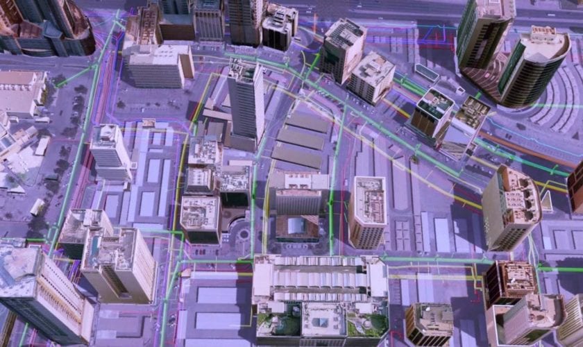
Οι χώρες της Μέσης Ανατολής και της Βόρειας Αφρικής αποτελούν ένα νέο πεδίο δράσης για τις εναέριες πλατφόρμες (sUAS) και κυρίως για τις βελτιωμένες υπηρεσίες χαρτογράφησης εδαφών που μπορούν να προσφέρουν, μέσω της ανάλυσης γεωχωρικών δεδομένων, που μπορούν να χρησιμοποιηθούν για πολλαπλούς αναπτυξιακούς σκοπούς…
[…Governments across the (Middle East& North Africa – MENA) could improve their economies by hundreds of billions of dollars in revenue by improving their mapping services according to a new report. Upgraded geospatial data would also help nations in the region in fighting challenges such as population growth, climate change and dealing with pandemics according to the ‘See Your Nation’s Potential’ Report from the UK’s mapping agency Ordnance Survey (OS)…]
