“…Vertical Technologies, a global provider of advanced VTOL UAV systems, and Agrowing Ltd. the provider of award-winning dual-purpose AI-enabling high-resolution multispectral sensors, announced that they have entered into a partnership to introduce the next level of drone based high resolution multispectral mapping technology.
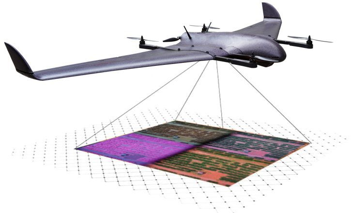
The integrated solution of Agrowing’s 10 band high-resolution sensor with Vertical Technologies’ DeltaQuad VTOL UAV lifts the standard for commercial multispectral mapping up from the current level of 2 – 3.5MP to a stunning 12MP, vastly improving data analysis options as well as the efficiency of multispectral mapping operations. The solution is also equipped with an easy swappable lens for high performance 61MP RGB mapping.
The DeltaQuad Pro long-range VTOL UAV combined with the Agrowing A7RivQuad covers up to 900 hectares (2200 acres) with a multispectral resolution of 5 CM per pixel, or 220 hectares (540 acres) with a multispectral resolution of 1.2 CM per pixel. The 61MP RGB sensor covers up to 1200 hectares (3000 acres) at 3CM per pixel in a single flight…”