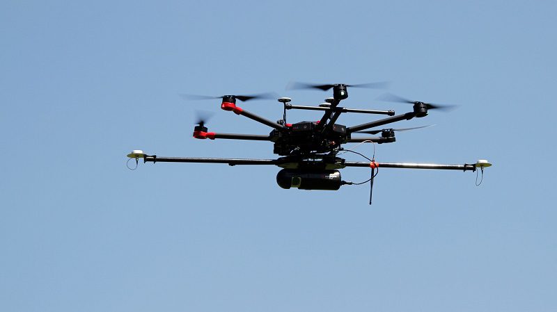
“…Researchers at the University of Wisconsin-Madison have been testing the use of LiDAR-equipped drones to improve our understanding of how forests and vegetation interact with the atmosphere. The project is called CHEESEHEAD, a long acronym that stands for The Chequamegon Heterogeneous Ecosystem Energy-balance Study Enabled by a High-density Extensive Array of Detectors. (The name is also a joke—Cheeseheads are what Greenbay Packers fans call themselves.) Despite the lengthy name, the ultimate goal of the research is straightforward: to find ways to reduce carbon emissions by improving our understanding of how the atmosphere interacts with plants…”
ΗΠΑ: ΕΚΠΟΜΠΗ ΠΑΛΜΙΚΗΣ ΑΚΤΙΝΟΒΟΛΙΑΣ ΛΕΪΖΕΡ (LiDAR) ΑΠΟ Drones ΓΙΑ ΤΗ ΜΕΛΕΤΗ ΤΗΣ ΑΛΛΗΛΕΠΙΔΡΑΣΗΣ ΤΗΣ ΑΤΜΟΣΦΑΙΡΑΣ ΜΕ ΤΟ ΕΔΑΦΟΣ ΚΑΙ ΤΑ ΔΑΣΗ
by Nikos Chatzis | 21 Aug, 2021 | Drones' Technology Management, UAVs, UnManned Aerial Vehicles, Γεωπολιτική
