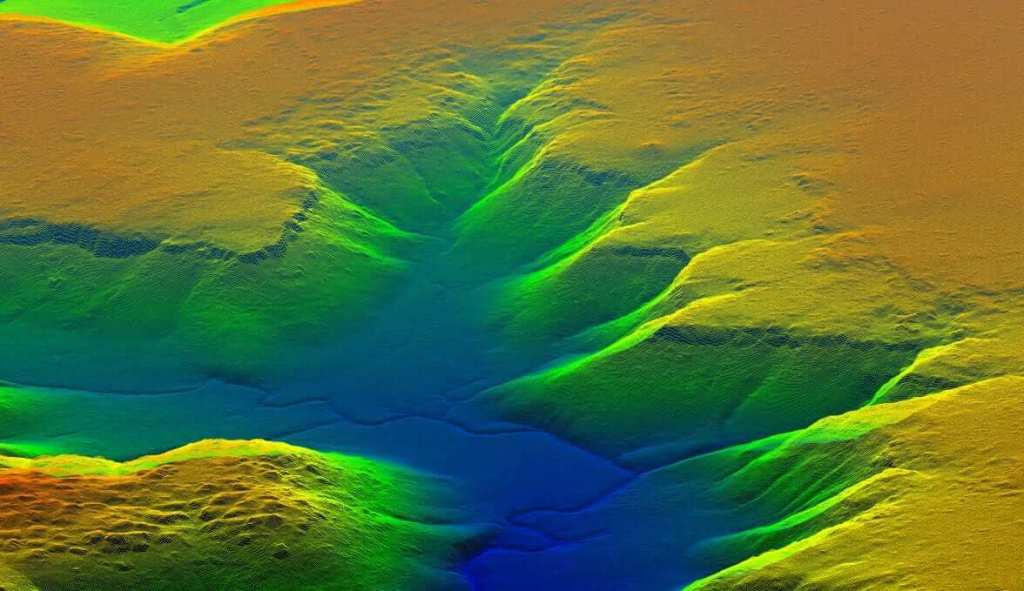
To UAS CT-220 της αυστραλιανής Insitu Pacific, είναι μία εναέρια πλατφόρμα πτήσης πέραν του οπτικού ορίζοντας (BVOL) που μπορεί να πραγματοποιήσει εναέρια έρευνα ακριβείας συγκεντρώνοντας δεδομένα, αλλά χαρτογράφηση περιοχών μέσω της μεθόδου LiDAR…
[…Insitu Pacific’s fixed-wing CT-220 Remotely Piloted Aerial System recently took to the sunny Far North Queensland skies – on a mission to capture spatial data over Gold, Silver and Copper exploration areas for IsMins Pty Ltd. IsMins Pty Ltd is a private exploration company with multiple tenements throughout Australia, and appointed Insitu Pacific to collect accurate, highly detailed imagery and rich point density LiDAR data products to support their exploration of several specific tenements. The CT-220 beyond visual line of sight aircraft is an Insitu Pacific engineered platform, built for precision aerial survey and mapping tasks…]
